BKG
BKG (Bundesamt für Kartographie und Geodäsie) has published a number of elevation datasets for Germany. The 200m and 1000m resolutions are freely available, while resolutions up to 5m can be purchased for a fee.
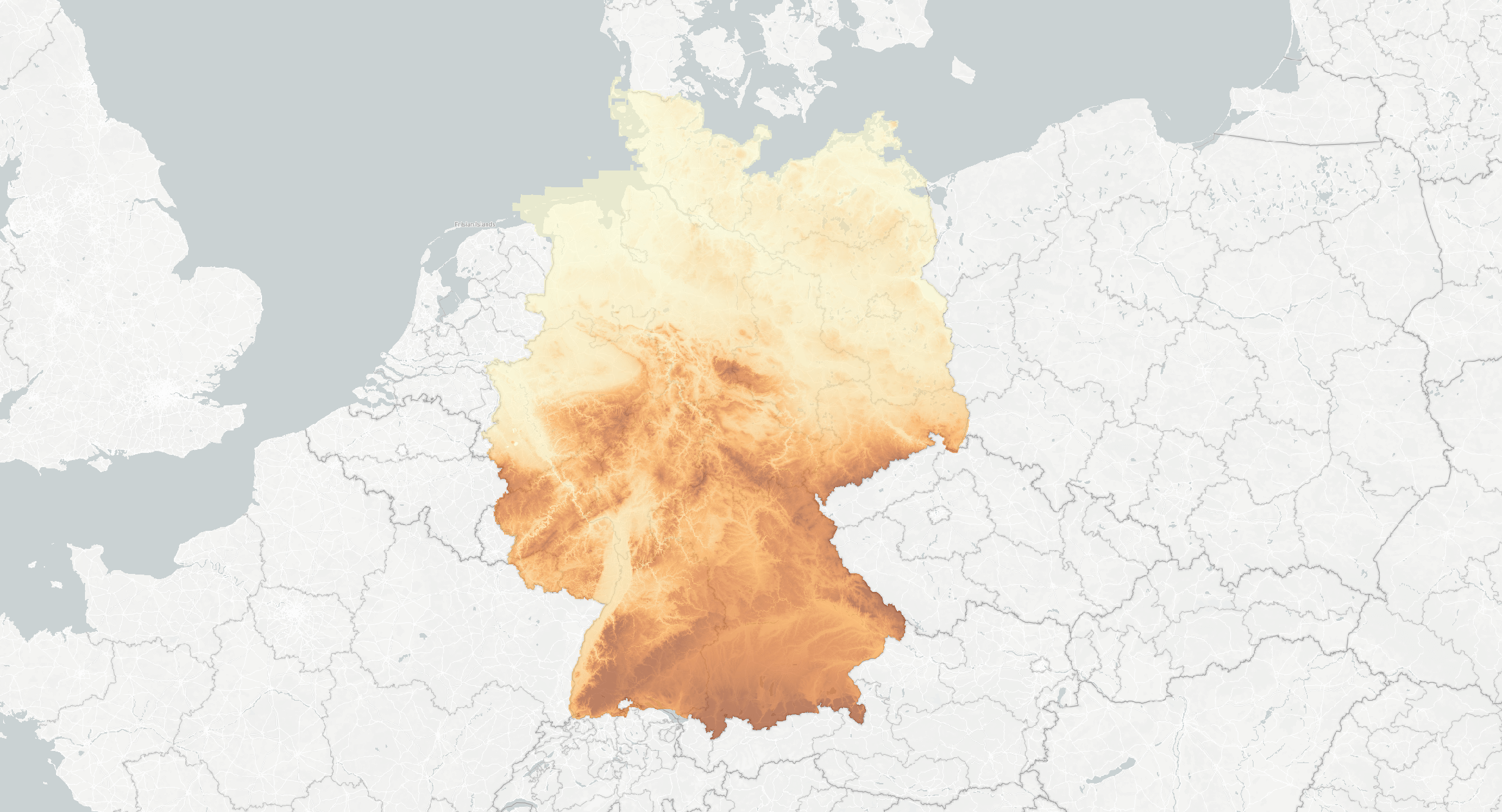
Render of BKG 200m DTM elevation.
Adding 200m BKG Digital Terrain Model to Open Topo Data
Make a new folder for the dataset:
Download the dataset, the link here is for the UTM referenced dataset in .asc format. Extract the zip and copy only dgm200_utm32s.asc and dgm200_utm32s.prj into ./data/bkg200m.
Add the dataset to config.yaml:
Finally, rebuild to enable the new dataset at localhost:5000/v1/bkg200m?locations=49.427,7.753.
Adding 5m Germany DEM to Open Topo Data
I don't have access to the higher-resolution datasets, but one user managed to get them working with Open Topo Data in issues #22 and #24.
The files come with a projection format that isn't supported by GDAL and with non-overlapping tiles so queries near the edges will return null data. Probably the easiest way to handle these issues is to merge all the files into one big geotiff:
gdalbuildvrt -tap -a_srs epsg:3044 -o bkg-dgm5.vrt dgm5/*.asc
gdaltranslate -co COMPRESS=DEFLATE -co BIGTIFF=YES -co NUM_THREADS=ALL_CPUS bkg-dgm5.vrt bkg-dgm5.tif
You could also add a buffer to each tile, fixing the projection with -a_srs epsg:3044.
If anyone has got this working and would like to share their steps, please open an issue or pull request!
Public API
The Open Topo Data public API lets you query 200m BKG DEM over Germany for free:
{
  "results": [
    {
      "elevation": 269.9404602050781,
      "location": {
        "lat": 49.427,
        "lng": 7.753
      },
      "dataset": "bkg200m"
    }
  ],
  "status": "OK"
}
Attribution
© GeoBasis-DE / BKG (Jahr des Datenbezugs)